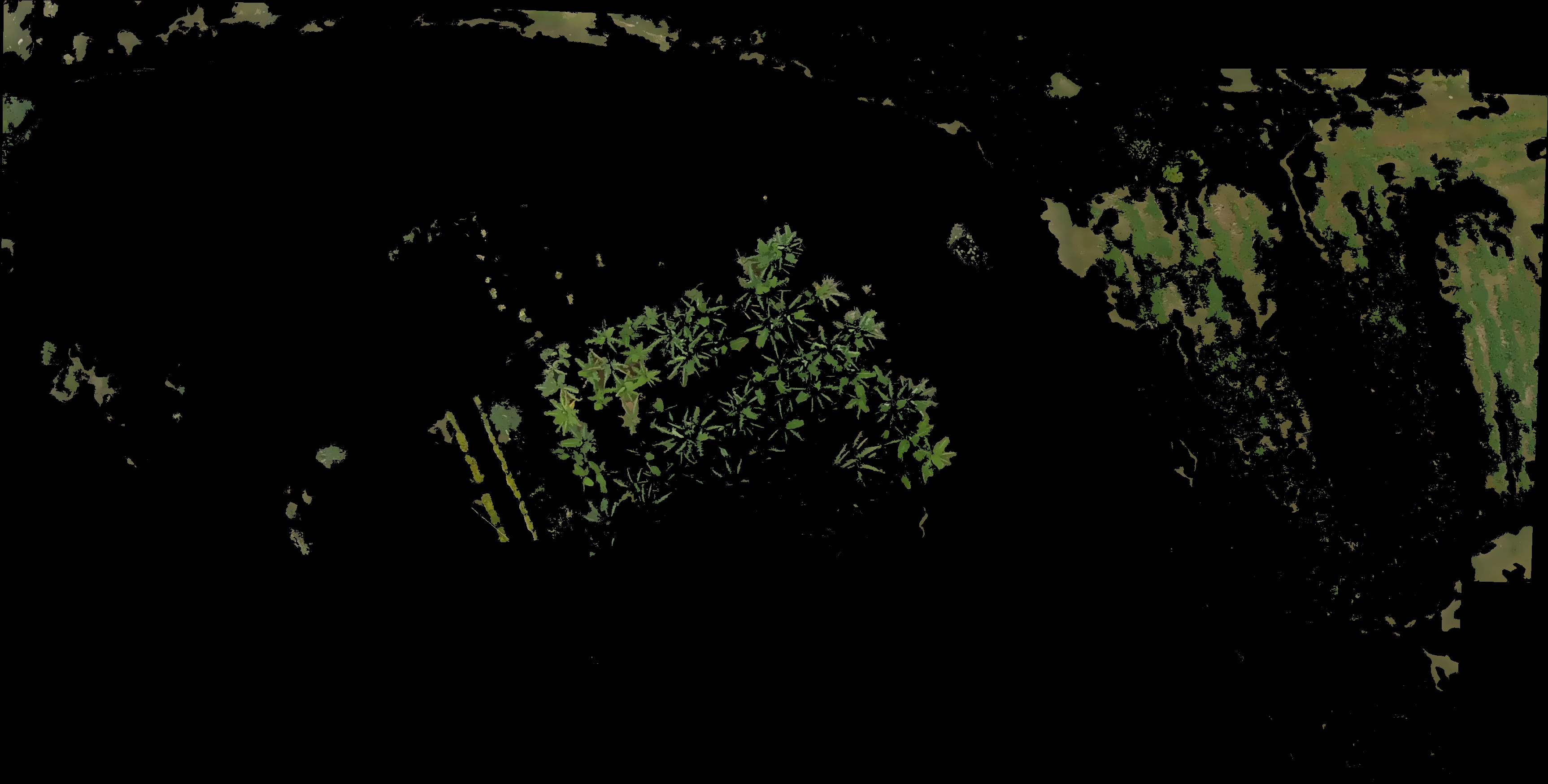
i am trying to calculate the area of vegetation in aerial image, i don't have the information regarding the height at which the image is taken. i have extracted vegetation in the image by using RGB values, the rest of the image i have set it to a pixel value 0(i.e black). how do i proceed from this step. please help. thank you

This forum is disabled, please visit https://forum.opencv.org

