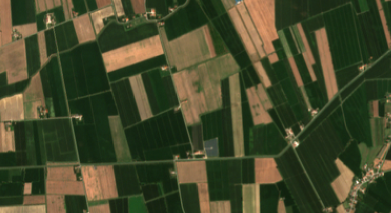
Agricultural field boundary segmentation and delineation
Hi, I'm looking for a method to segment cultivated fields quite accurately using satellite images. I initially tried edge delimitation but I don't think this can be converted to shapefile later so I'm considering the idea of segmenting the image. How can I proceed?

